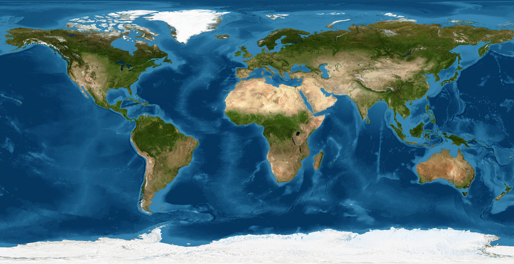
If you have ever glanced at a world map and assumed the continents were fixed in place, you are not alone. For most of us, Earth feels steady and permanent beneath our feet. Mountains look immovable. Coastlines appear settled. Nations seem anchored exactly where they have always been.
Yet one continent is quietly rewriting that assumption. Australia is shifting north at a pace of about seven centimeters per year, making it the fastest moving continental land mass on the planet. The movement is invisible to the naked eye, but it is real enough to throw off satellite navigation systems and precise mapping technologies.
According to reporting highlighted by The New York Times and supported by geological research, Australia has already shifted roughly 1.5 meters since 1994. That may not sound dramatic, but in the world of geospatial science and engineering, even a few centimeters matter. Beneath the surface, the forces shaping this motion have been active for millions of years, and they continue to reshape the planet today.
A Continent on the Move
Australia sits atop the Indo Australian tectonic plate, one of the major plates that make up Earth’s outer shell. Unlike the illusion of a solid sphere, the planet’s crust is fractured into enormous slabs that float on the semi molten mantle below. These plates are constantly in motion, colliding, separating, and grinding past one another in slow but powerful cycles.
While most continents move at an average rate of around 1.5 centimeters per year, Australia travels at roughly seven centimeters annually. By geological standards, that is remarkably fast. Scientists often compare it to the speed at which hair or fingernails grow. It is slow in human terms, but swift in planetary terms.
This motion is not random. Deep within the Earth’s mantle, convection currents generate forces that push and pull tectonic plates. In Australia’s case, those forces are guiding the Indo Australian plate northward and slightly eastward, toward Southeast Asia and the Eurasian plate.
The idea of a continent migrating might sound dramatic, but it is part of a much larger and older story. Until around 200 million years ago, Australia was joined to a massive southern supercontinent known as Gondwana. It shared borders with Antarctica, Africa, and South America. Over time, the supercontinent fractured, and Australia began its long drift north.
Its separation from Antarctica began roughly 85 million years ago and was largely complete by about 34 million years ago. That ancient split continues to influence Australia’s geology, landscape, and ecosystems today.
The Geological Story Beneath the Surface

Australia is home to some of the oldest rocks on Earth. Parts of the Australian Shield, particularly in the Yilgarn and Pilbara cratons, contain formations dating back nearly three billion years. These ancient structures formed when the planet’s early crust was still stabilizing.
Over time, volcanic eruptions, continental drift, erosion, and glaciation shaped the continent into its present form. The melting of glaciers after Australia separated from Antarctica contributed to the formation of major sedimentary basins such as the Eromanga Basin. Covering nearly one million square kilometers, this basin holds significant deposits of sandstone, coal, shale, and natural gas.
Around 33 million years ago, Australia drifted over a volcanic hotspot, giving rise to what researchers now identify as the Cosgrove volcanic track. Stretching approximately 2,000 kilometers, it is considered the largest continental volcanic chain in the world. Though these volcanoes are now extinct, their presence reveals how dynamic the continent’s past has been.
Fossil discoveries further illustrate Australia’s transformation. Trilobite fossils found near Victoria and other coastal areas show that parts of the continent were once submerged beneath ancient seas. Limestone outcrops near Lake George and the Yass River provide additional insight into the shifting landscapes that emerged as tectonic forces lifted and exposed former seabeds.
This long geological history explains why Australia is so mineral rich. Gold, iron ore, silver, coal, uranium, lithium, and nickel deposits are scattered across the continent. Western Australia’s Pilbara region contains some of the world’s highest quality iron ore, while pegmatite deposits supply much of the global demand for lithium, a critical component in modern batteries.
The same tectonic forces that move Australia north also helped concentrate these valuable resources. In many ways, the continent’s economic story is intertwined with its geological one.
When Continents Move and Technology Notices
For millions of years, Australia’s drift went unnoticed by human beings. But in the age of satellites and precision navigation, even subtle shifts matter.
Global navigation satellite systems such as the United States’ GPS, Russia’s GLONASS, the European Union’s Galileo, and China’s BeiDou rely on fixed coordinate systems. These systems assume that the land beneath them remains relatively stable. When a continent moves several centimeters per year, the discrepancy accumulates.
Between 1994 and 2016, Australia shifted about 1.5 meters north. During that period, the country continued using coordinates established in 1994. Eventually, the mismatch between the official coordinate system and the continent’s physical location became significant enough to require correction.
In 2016, the Australian government announced that it would update the country’s official latitude and longitude coordinates. The adjustment effectively moved Australia 1.8 meters northeast on paper to align with its real world position and its projected location in 2020.
This was not the first time such a correction had been made. Over the past five decades, Australia’s coordinates have been formally updated multiple times. As technology becomes more precise, the need for accurate alignment increases.
A few centimeters might not matter to someone reading a paper map, but for industries that rely on high precision, it is crucial. Mining companies in Australia operate massive trucks remotely using GPS guidance. Agricultural equipment uses satellite data to plant crops in carefully spaced rows. Surveyors depend on centimeter level accuracy for construction projects.
Self driving vehicles present an even more striking example. If a navigation system is off by a meter or more, a vehicle could drift outside its intended lane. While the movement of the continent is gradual, ignoring it would eventually create safety and efficiency challenges.
A Future Collision With Asia
If Australia continues on its current path, what happens next?
Geologists suggest that in tens of millions of years, the Indo Australian plate could collide more directly with the Eurasian plate. This slow convergence may eventually contribute to the formation of new mountain ranges in parts of Southeast Asia, similar to how the collision between the Indian plate and Eurasia created the Himalayas.
Some scientists have informally referred to the possibility of a future continental configuration dubbed Austrasia, though such a scenario lies far beyond human timescales. Ocean currents, ecosystems, and regional climates could all shift as land masses rearrange.
It is important to remember that plate tectonics operates on timescales that dwarf human history. Civilizations rise and fall in thousands of years. Continents reshape themselves over millions.
Australia’s northward drift is simply one chapter in an ongoing planetary story. Other plates are moving as well. The Atlantic Ocean continues to widen as the Americas drift away from Europe and Africa. In the distant future, today’s world map will look unfamiliar.
Mining, Energy, and the Weight of Responsibility
Australia’s geology has made it one of the world’s leading exporters of minerals. The country has been a major producer of gold since the nineteenth century, with historic gold rushes in New South Wales and Victoria reshaping its economy and population.
Today, Australia is a dominant supplier of iron ore, bauxite, lithium, and uranium. It was the world’s largest producer of bauxite in the mid 2010s and among the top producers of uranium and coal. Much of this output is exported to countries such as China, Japan, South Korea, and India.
Lithium demand has surged with the rise of electric vehicles and renewable energy storage systems. Australia’s pegmatite deposits in Western Australia have become central to the global battery supply chain. At the same time, coal mining continues to provide a significant portion of the nation’s energy and export revenue.
However, the extraction of these resources has also sparked environmental and social debates. Uranium mining has faced opposition over concerns about nuclear proliferation, environmental protection, and Indigenous land rights. Coal mining remains controversial in the context of climate change, as scientific evidence links fossil fuel combustion to rising global temperatures.
The continent’s geological wealth brings both opportunity and responsibility. As Australia continues its northward journey, it also navigates complex decisions about how to manage its natural resources in a rapidly changing world.
Living on a Restless Planet
One of the most striking aspects of Australia’s movement is how little we feel it. There are no daily tremors announcing its progress north. There is no visible sign on the horizon that the continent is edging closer to Asia.
Yet Earth has never been static. Mountains rise and erode. Rivers carve new channels. Ice ages come and go. The continents themselves drift in slow choreography driven by forces deep within the planet.
Scientists track Australia’s motion using highly sensitive GPS measurements anchored to stable reference points. These tools allow researchers to observe changes measured in millimeters. What once required geological inference can now be quantified with precision.
Understanding this motion has practical value, but it also carries philosophical weight. It reminds us that the ground beneath our feet is part of a dynamic system. Stability, in geological terms, is relative.
The fact that Australia is the fastest moving continent does not mean it is racing toward sudden change. Its journey unfolds at a pace that stretches imagination. Still, the knowledge that entire land masses migrate across the globe can shift our perspective.
We often think of borders and maps as permanent. In reality, they are snapshots of a fleeting moment in Earth’s long history. Millions of years from now, future inhabitants of the planet may look at very different coastlines.
The Quiet Power of Plate Tectonics
Plate tectonics shapes earthquakes, volcanoes, mountain ranges, and ocean basins. It regulates the carbon cycle over geological time and influences climate patterns. Without it, Earth would be a very different planet.
Australia’s steady drift is evidence of this quiet power. The same process that once tore it away from Antarctica now guides it northward. The same forces that built its mineral rich shield continue to operate deep below.
For now, the most immediate impact of this motion is technical rather than dramatic. Engineers update coordinate systems. Scientists refine models. Navigation systems adjust.
But there is something humbling in recognizing that the continents themselves are travelers. Australia’s northward movement serves as a reminder that change is built into the fabric of the planet.
In a world where daily headlines focus on rapid developments and immediate crises, the story of a continent moving seven centimeters per year offers a different perspective. It is a story of patience, scale, and deep time. It shows that even the largest structures on Earth are not fixed, but part of an ongoing transformation that began billions of years ago and will continue long after us.
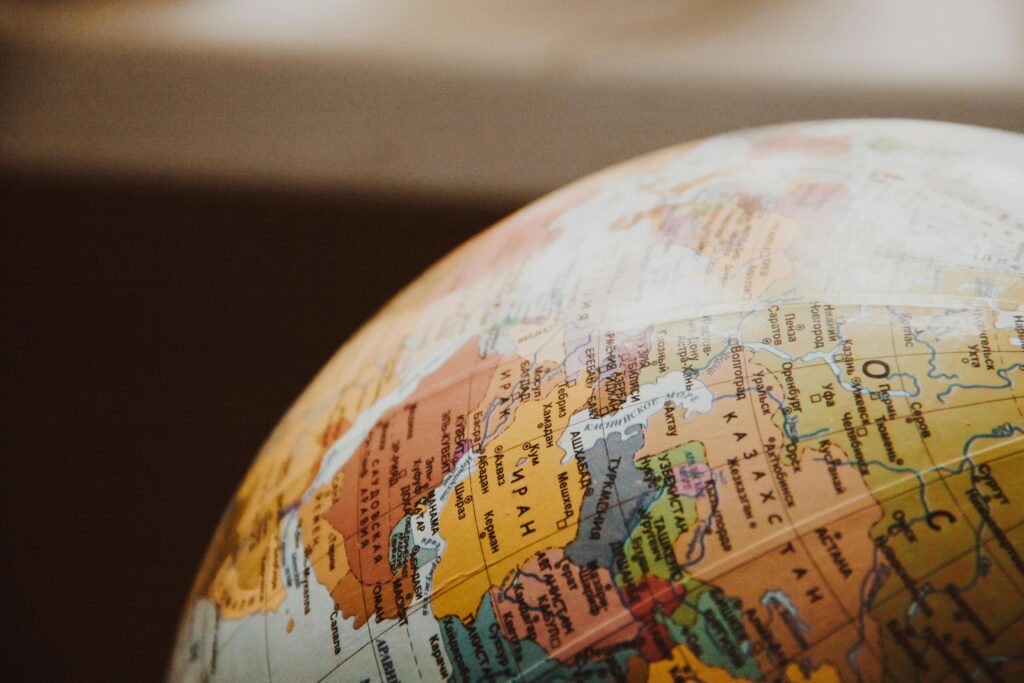
Australia may appear steady on a classroom globe, but in reality, it is on a slow journey toward Asia. The shift is small each year, almost imperceptible, yet unstoppable. And in that quiet motion lies one of the most fascinating truths about the planet we call home.